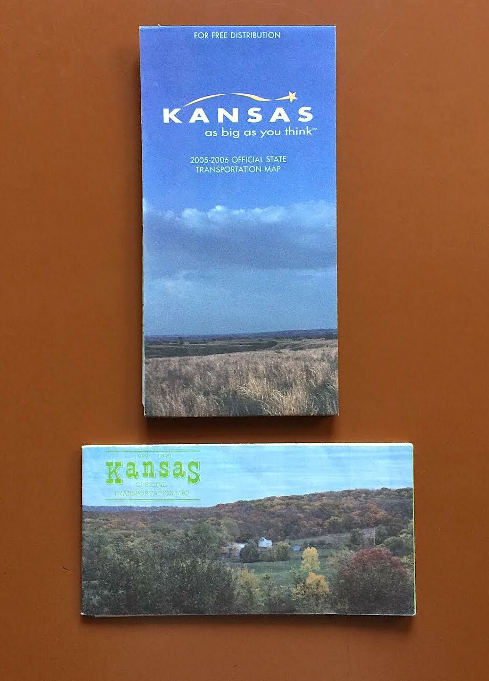
Official Kansas Road Maps 1989-1990, 2005-2006 For Sale
When you click on links to various merchants on this site and make a purchase, this can result in this site earning a commission. Affiliate programs and affiliations include, but are not limited to, the eBay Partner Network.

Official Kansas Road Maps 1989-1990, 2005-2006:
$9.99
Official road maps for Kansas, from 1989-90 and 2005-06. Besides showing all the major roads and county boundaries in the Sunflower State, ’89-90 map features a color-coded guide to various physiographic regions (from the Ozark Plateau to the High Plains). ’05-06 map is, in my opinion, one of the best official state road maps I’ve seen. Besides showing the different physiographic regions on a separate distance map, the main road map has a shaded relief background, gauging elevation across the state. There’s also a city and county index (showing populations at the 2000 census), and a museum index. The other side features a guide to Kansas tourist attractions, as well as more detailed maps of the state’s major urban centers. 
|
Other Related Items:
Related Items: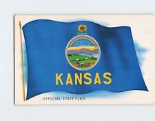
Postcard Kansas Official State Flag Kansas USA $3.49

Vintage 1975 Kansas Shrine Bowl Advertising Sign and Official Souvenir Program $67.99
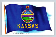
Kansas Official State Flag Kansas KS Postcard $6.36
| 


